Hollins Lane
Historical
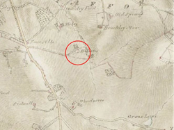
Hollins is shown on 18th century maps (image 1).
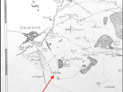
The 1816 ordinance survey map shows Hollins Lane (image 2). It does not stop at the farm buildings, farmhouse or two cottages of Hollins. It continues to what is shown on later large-scale maps as a gravel pit. The line of the lane is the same on this pre-canal map as it is on the OS maps post-canal construction.
A requirement of the 1776 Highways act was that any road maintained by the parish must be named. This suggests that material from the gravel pit at the end of the lane was used for road construction and maintenance.
Pre extension
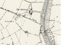
1889 OS map shows track from Woodseaves Grange out to Hollins Lane (image 3).
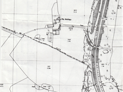
The 1966 (image 4) 2500 scale OS map shows a path from Woodseaves Grange (now shown as a right of way up to the present county boundary) that goes all the way to Hollins Lane and also a set of steps down the canal embankment to the towpath, near bridge 58. The steps were constructed pre the publication of the 1966 map.
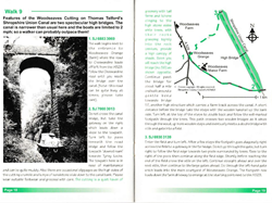
In a book of Market Drayton Walks published in 2001, walk 9 uses the tow path, the steps and the footpath to Woodseaves Grange (image 5).
The steps were damaged circa 2007 by a landslip. British Waterways spent many weeks with two diggers reinstating the embankment. Vegetation soon reclaimed the slope and hid the route. A couple of years ago upon investigation, the remains of the steps were found to still be there. The lower part had been buried and the upper part with the railway sleepers had been displaced slightly.
The Canal and River Trust, in 2020, dug out the buried lower part and repaired rotten sleepers. They used the steps to gain access to the top of a landslip north of bridge 58.
Post extension to present day
In 1965 The Hollins Farm was sold to the owner of Old Springs Farm.
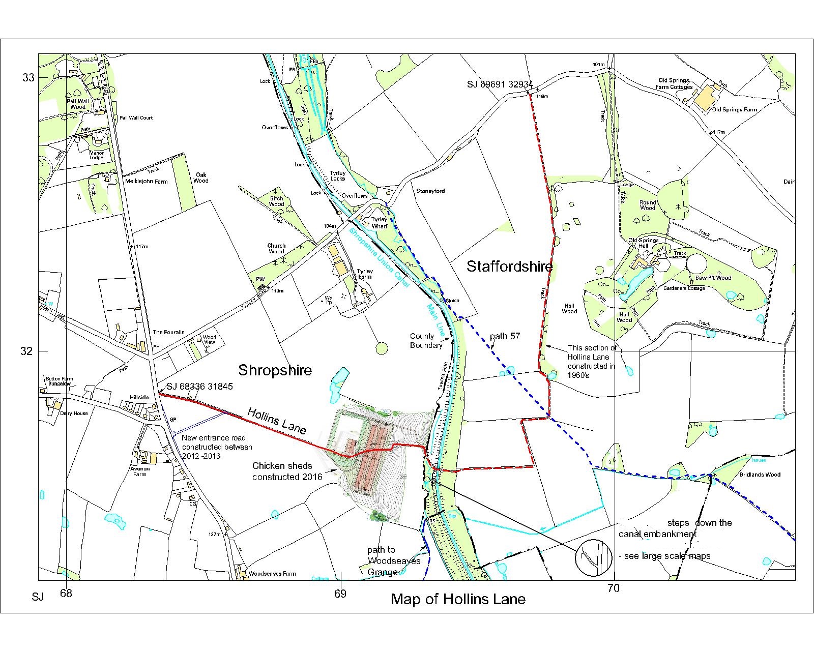
The sale documents list all the fields adjacent to Hollins Lane. All buildings were demolished. Subsequently the extension of Hollins Lane out to Tyrley Road was constructed.
At some point some of the fields were sold to Avenue Farm.
In 1983 the purchaser of Avenue Farm (to the east of the A529) did not purchase the fields off Hollins Lane that were owned by Avenue farm. The field numbers for those fields are not listed.
Old Springs Hall and Old Springs Farm were sold and a trade was made for the fields adjacent to Hollins Lane.
The gates across Hollins Lane east of No. 22 were constructed without planning permission.
In 1997 Old Spring Farm and all the land except for 120 acres surrounding Old Spring Hall was sold.
The lane and extension out to Tyrley Road, has been used by the public without restriction. Walkers, cyclists, horse riders, pony and trap, until 2016/17 when the owner closed off the land and the earth works to the chicken sheds removed part of the lane. All possible access points to the land were blocked off with barbed wire.
